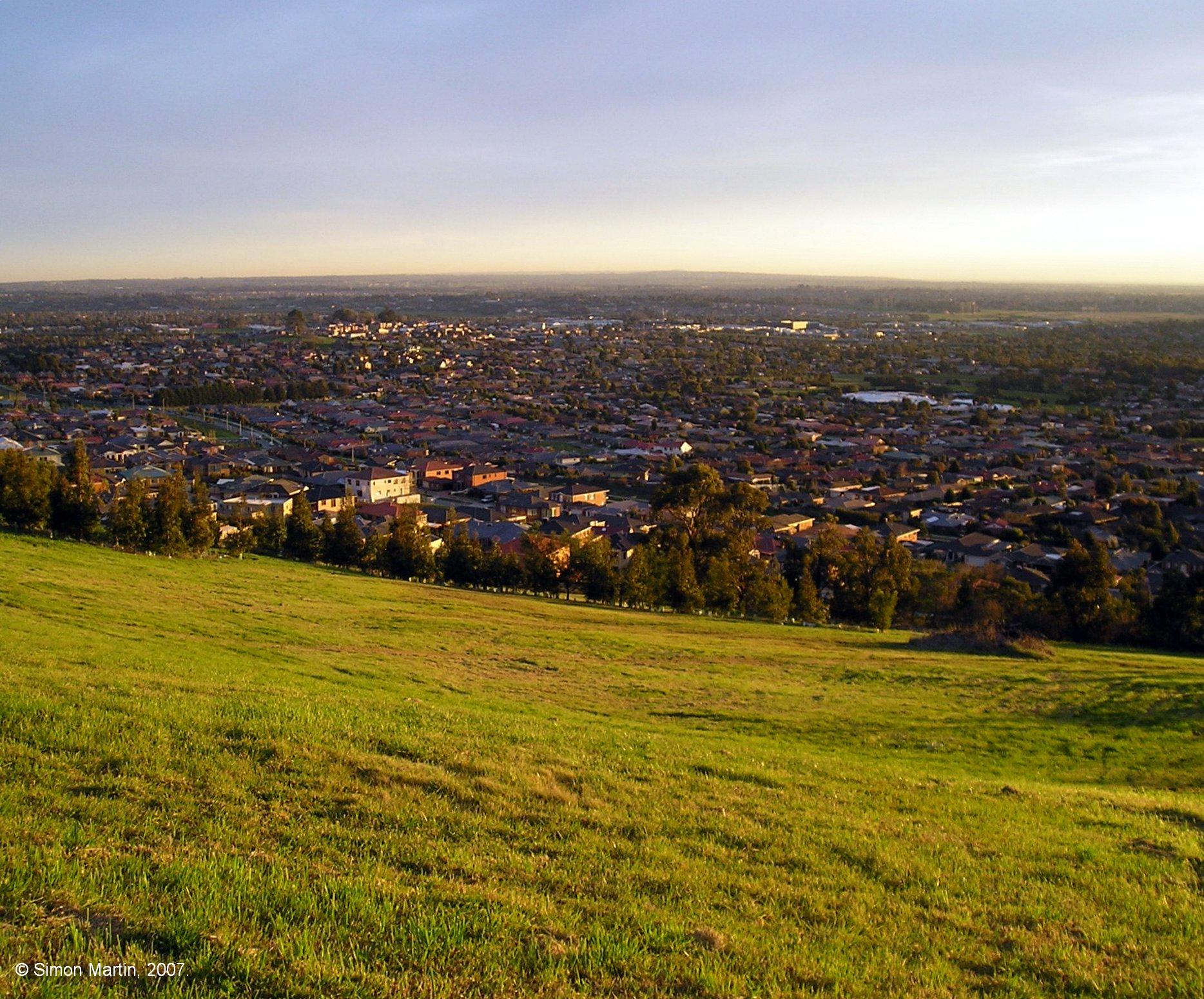
Cranbourne West hakkında bilgiler
| Yerel Saat | |
| Saat Dilimi | Doğu Avustralya Standart Saati |
| Enl ve Boy | -38.09650, 145.26707 |
Cranbourne West Haritası
İnteraktif harita
Yakınlarda Depremler
Büyüklük 3.0 ve üstü
| Tarih▼ | Saat↕ | Magnitude↕ | Distance↕ | derinlik↕ | Yer↕ | bağlantı |
|---|---|---|---|---|---|---|
| 12/3/14 | 7:05 PM | 3.6 | 15.4 km | 10,000 m | 11km S of Beaconsfield Upper, Australia | usgs.gov |
| 5/1/13 | 4:41 PM | 3.1 | 68.8 km | 10,000 m | 7km N of Leopold, Australia | usgs.gov |
| 7/20/12 | 9:11 AM | 4.6 | 81.2 km | 13,000 m | near the southeast coast of Australia | usgs.gov |
| 6/19/12 | 10:53 AM | 5.2 | 84.9 km | 10,000 m | near the southeast coast of Australia | usgs.gov |
| 7/5/11 | 9:16 AM | 3.7 | 58.8 km | 6,000 m | near the southeast coast of Australia | usgs.gov |
| 7/5/11 | 2:37 AM | 3.3 | 64.2 km | 0 m | near the southeast coast of Australia | usgs.gov |
| 7/5/11 | 1:32 AM | 4.4 | 61.1 km | 2,000 m | near the southeast coast of Australia | usgs.gov |
| 3/30/10 | 8:08 AM | 3 | 52 km | 10,000 m | near the southeast coast of Australia | usgs.gov |
| 9/22/09 | 8:20 AM | 3.1 | 20.4 km | 0 m | near the southeast coast of Australia | usgs.gov |
| 3/18/09 | 5:28 AM | 4.3 | 60.7 km | 15,000 m | near the southeast coast of Australia | usgs.gov |
Kaynak: U.S. Geological Survey (USGS)

Verilerimiz Hakkında
Bu sayfadaki veriler, kamuya açık çeşitli araçlar ve kaynaklar kullanılarak tahmin edilmiştir. Garanti verilmeden sağlanır ve hatalar içerebilir. Kendi sorumluluğunuzda kullanın.